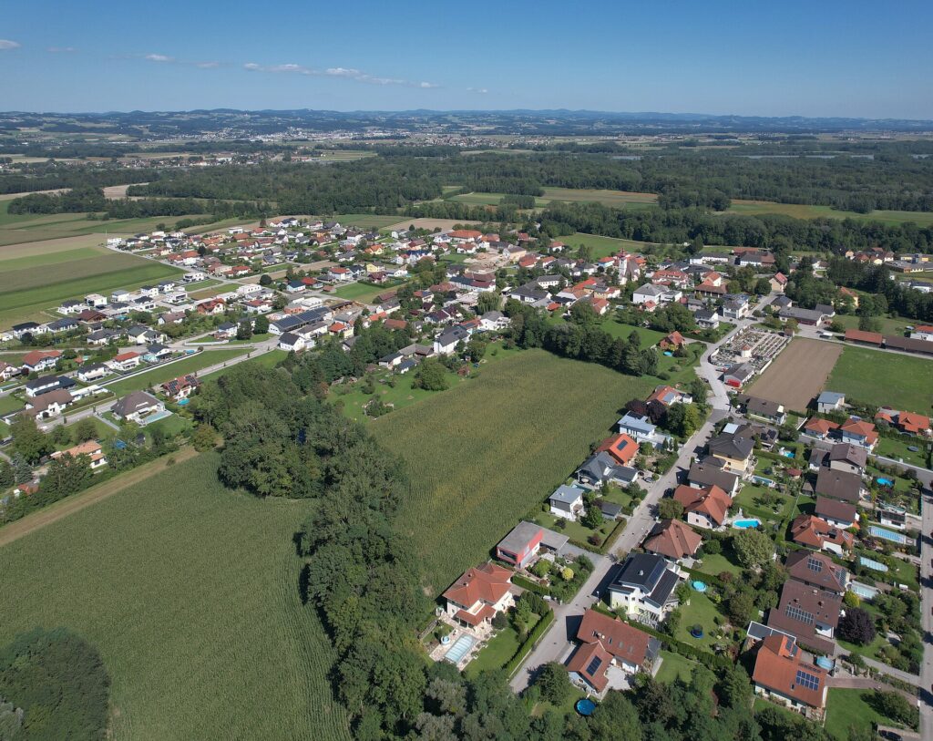
A Roman town that slipped out of the written record nearly two thousand years ago may have been lying under farmland in Lower Austria all along. Smithsonian Magazine reports that archaeologists working near St. Pantaleon-Erla have mapped a settlement of roughly 62 to 75 acres without lifting a spade, using geophysical surveys to trace a neat grid of streets beneath the fields.
The plan includes an amphitheatre big enough for about 8,000 spectators and a large cemetery whose tombs point to well-off residents. Two forts stood close by, one of timber and earth from the first century and a later one in stone, watching a crossing of the Danube where the River Aist joins it.
The team, which includes GeoSphere Austria and National Museums Scotland, thinks the site is Claudivium, a place named by the geographer Ptolemy. It seems to have been founded around AD 80 and left about a century later, with its people probably moving to nearby Lauriacum. The researchers now hope to secure funding for aerial survey and targeted digs.
Source: Smithsonian Magazine