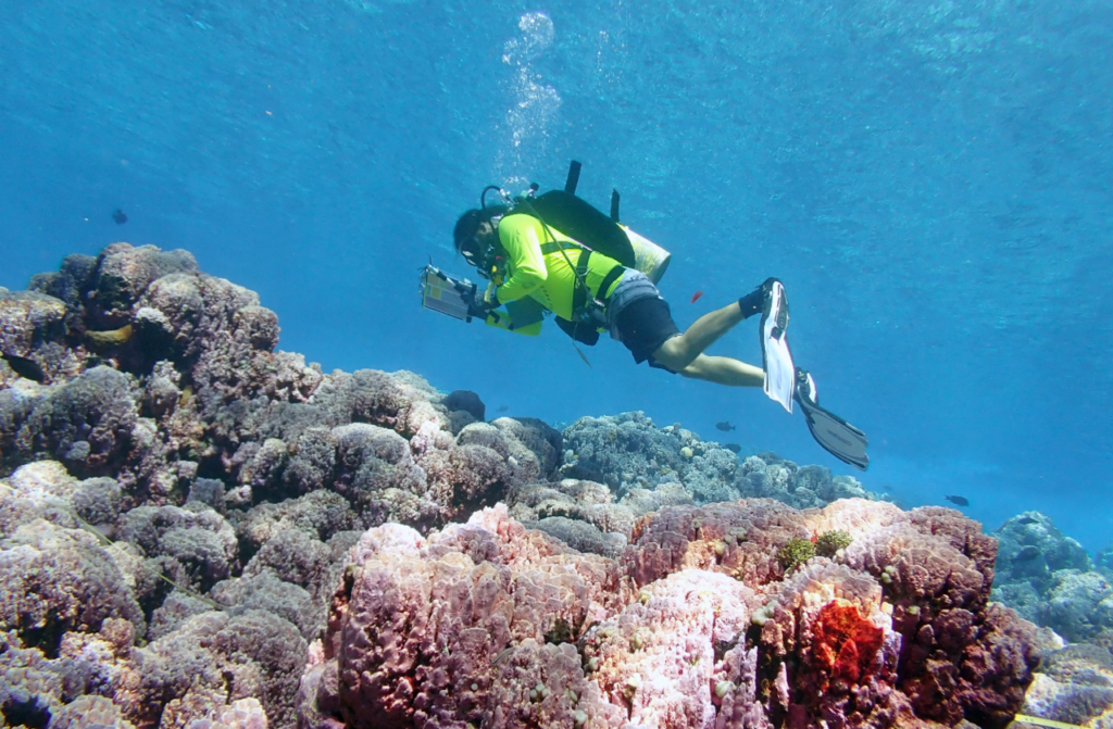
A Costa Rican nonprofit is turning smartphones into reef-mapping tools, The Tico Times reports. Raising Coral is photographing reefs in Golfo Dulce and around the Caño Island Biological Reserve, near the Osa Peninsula, with waterproofed phones.
The overlapping photos are stitched into detailed 3D models by researchers at the Scripps Institution of Oceanography in California, working with the conservation group SeaTrees. Because divers can return to exactly the same patch of reef, the models show whether corals are growing, shrinking or recovering. Surveys began last December and have run monthly since July to keep a close eye on warming seas.
Marine biologist María Laura Sandoval, who manages the restoration programme, says the surveyed areas have between roughly 18% and 40% coral cover. Raising Coral plans to grow and transplant about 1,000 corals a year until 2029, and local people are being trained as coral gardeners.
The method is far cheaper than traditional underwater camera rigs, which could let smaller groups track reef health around the world.
Source: The Tico Times